
At the turn of the years 2021/2022, a photographic survey examining the consequences of opencast coal mining in the Sudeten borderlands was conducted within the vicinity of the "Turów" brown coal mine, which is run by the Polish state-owned energy company PGE. The cross-border terrain was explored and the social-ecological situation visually documented.
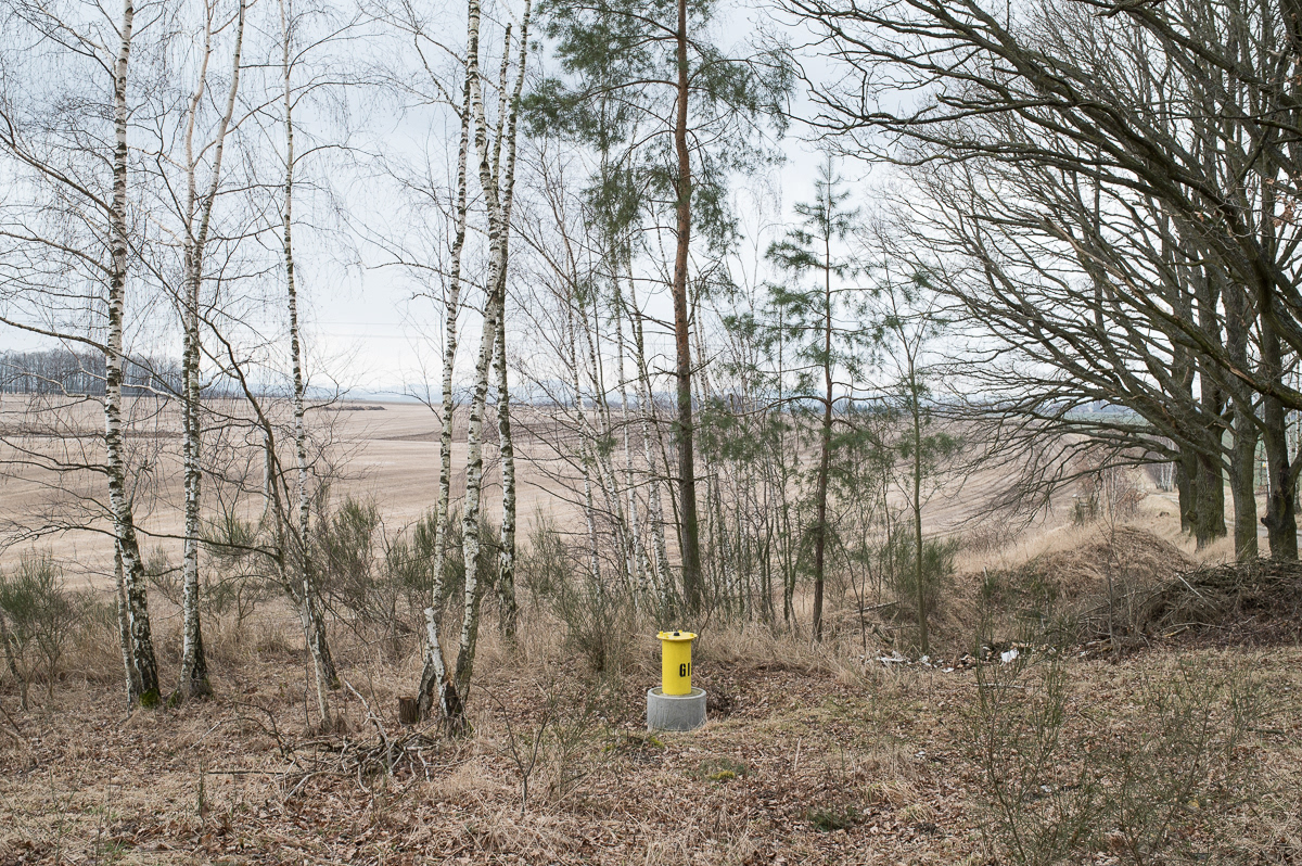
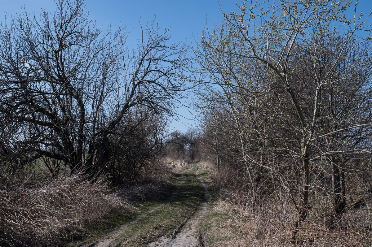
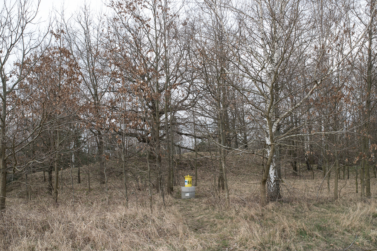
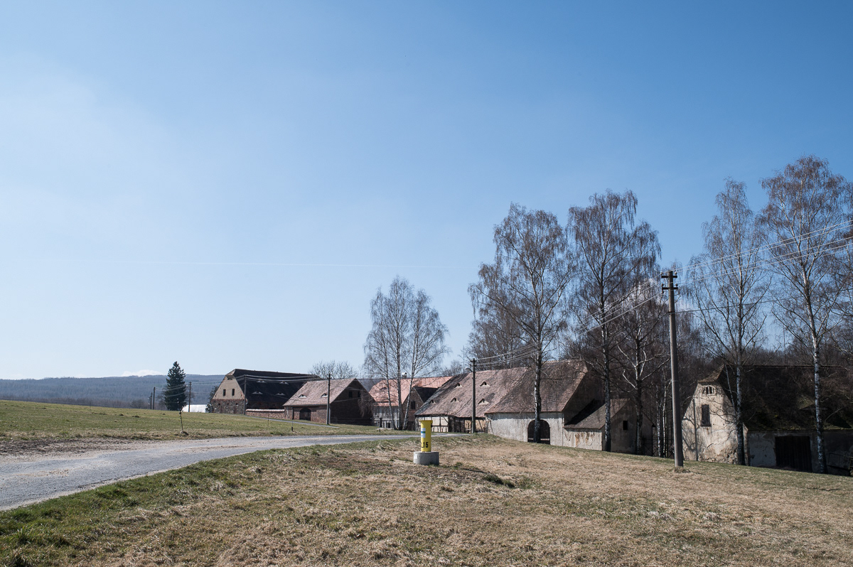
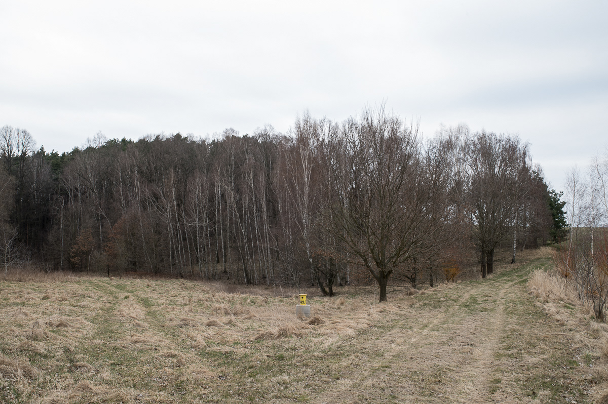
The Czech Geological Survey, (Česká Geologická Služba), uses a network of monitoring posts along the Czech-Polish border to take geological measurements. According to recent data from the region, groundwater levels are at a historical low. In the vicinity of the Uhelná water source, groundwater levels have dropped by about 20 meters over the last 50 years.*

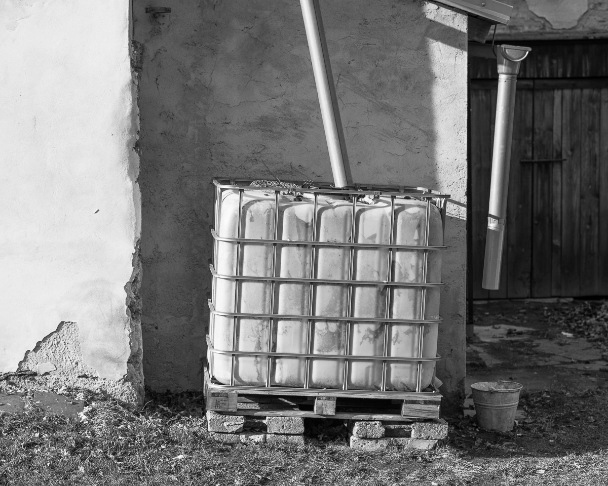
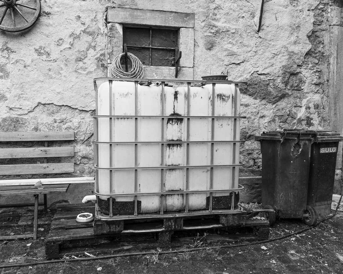
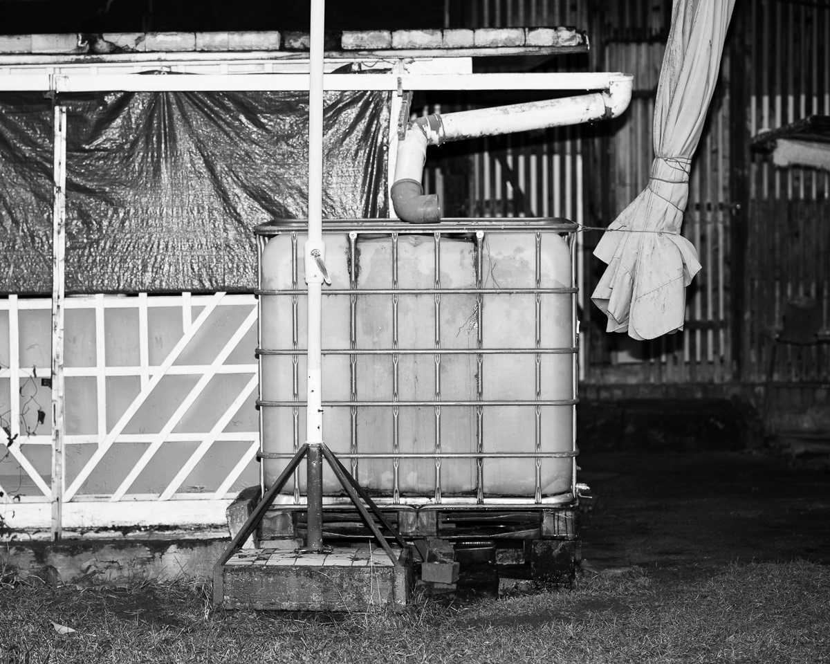
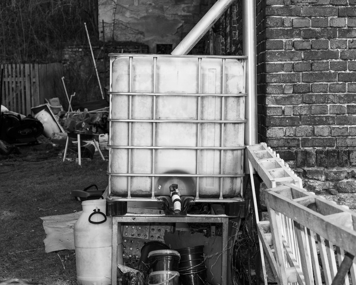
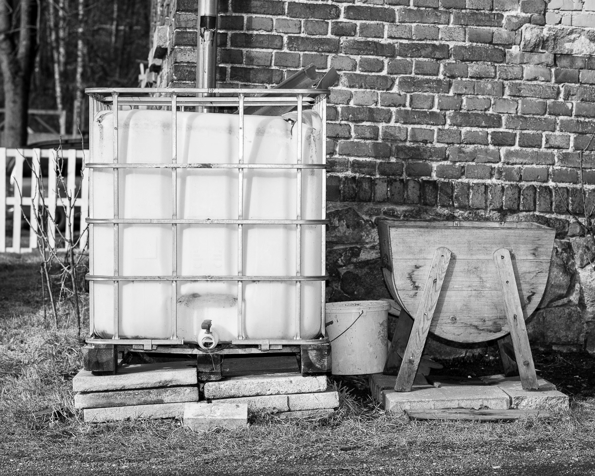
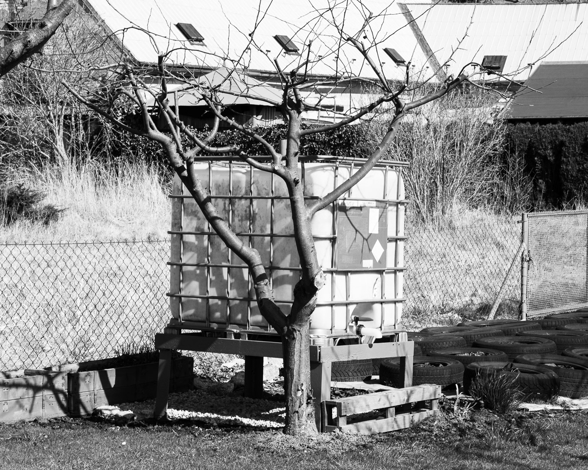
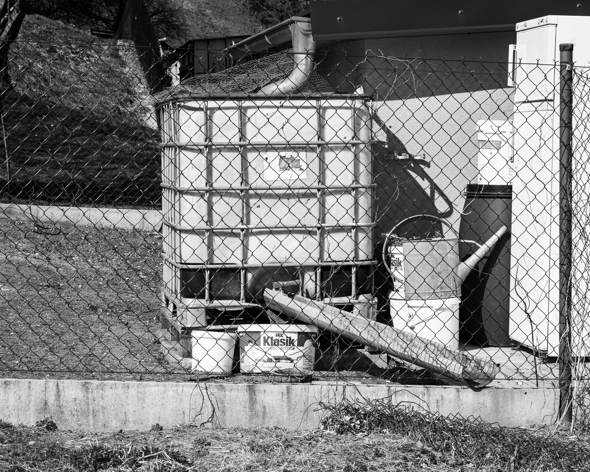
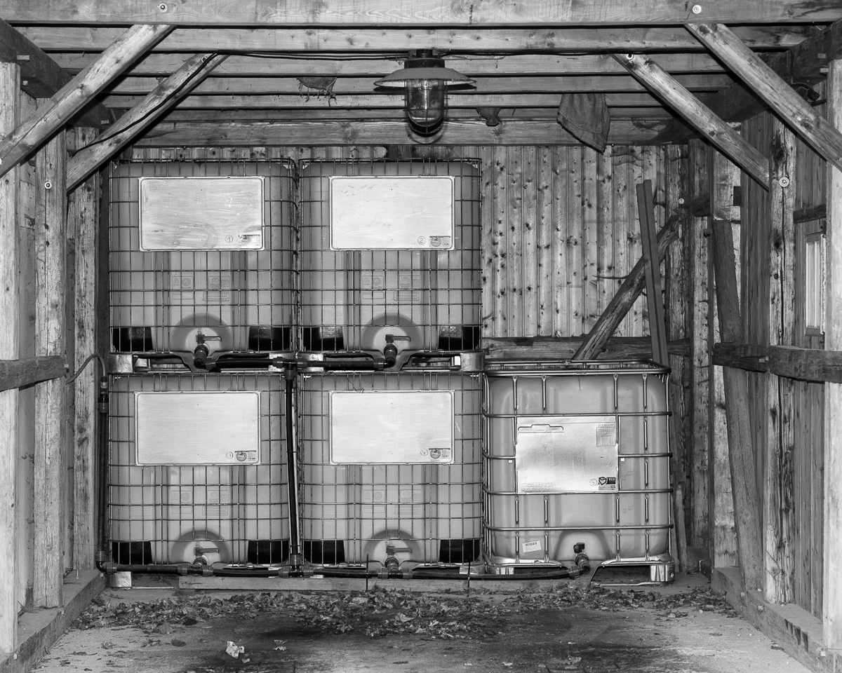
An average water container, like those used by Czech households whose village wells run dry, can store up to 1000 liters of water. The European Union average household consumption of water is 120 liters per day. 50% of the EU’s drinking water comes from groundwater.*


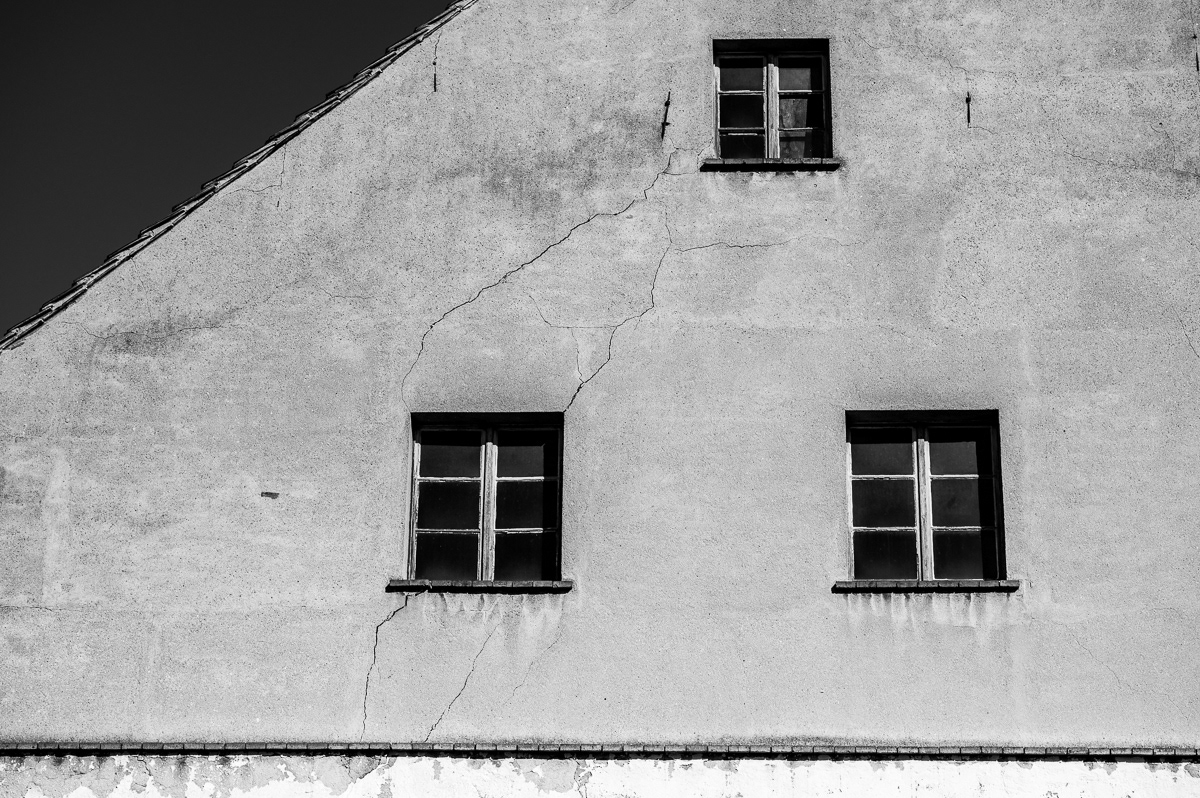
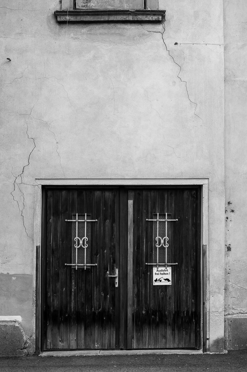
The city of Zittau lies within what hydrogeologists refer to as a lowering funnel. The withdrawal of groundwater underneath the urban area is causing land subsidence - a gradual sinking of the Earth’s surface. Along the German-Polish border, land subsidence could increase to 1.2 meters by 2044. That means that the level of sinking underneath the urban center of Zittau could increase to 36-72 centimeters.*


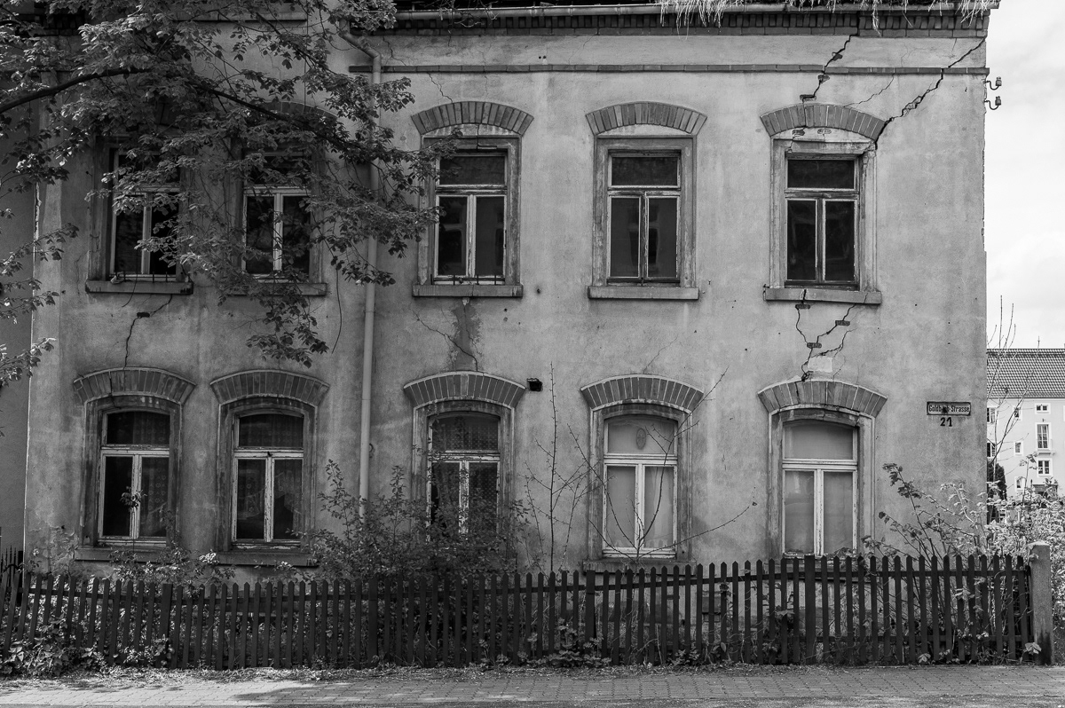
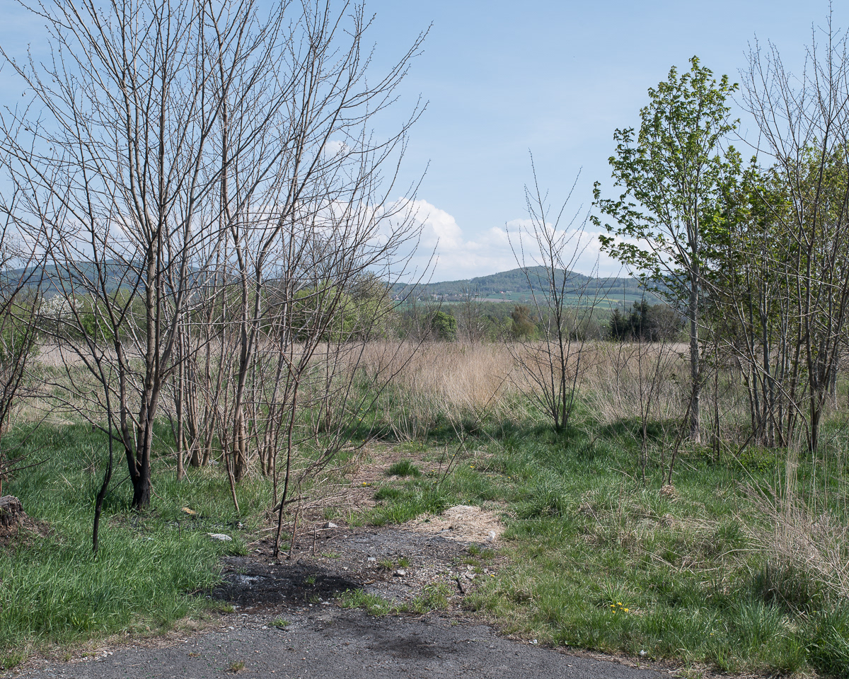
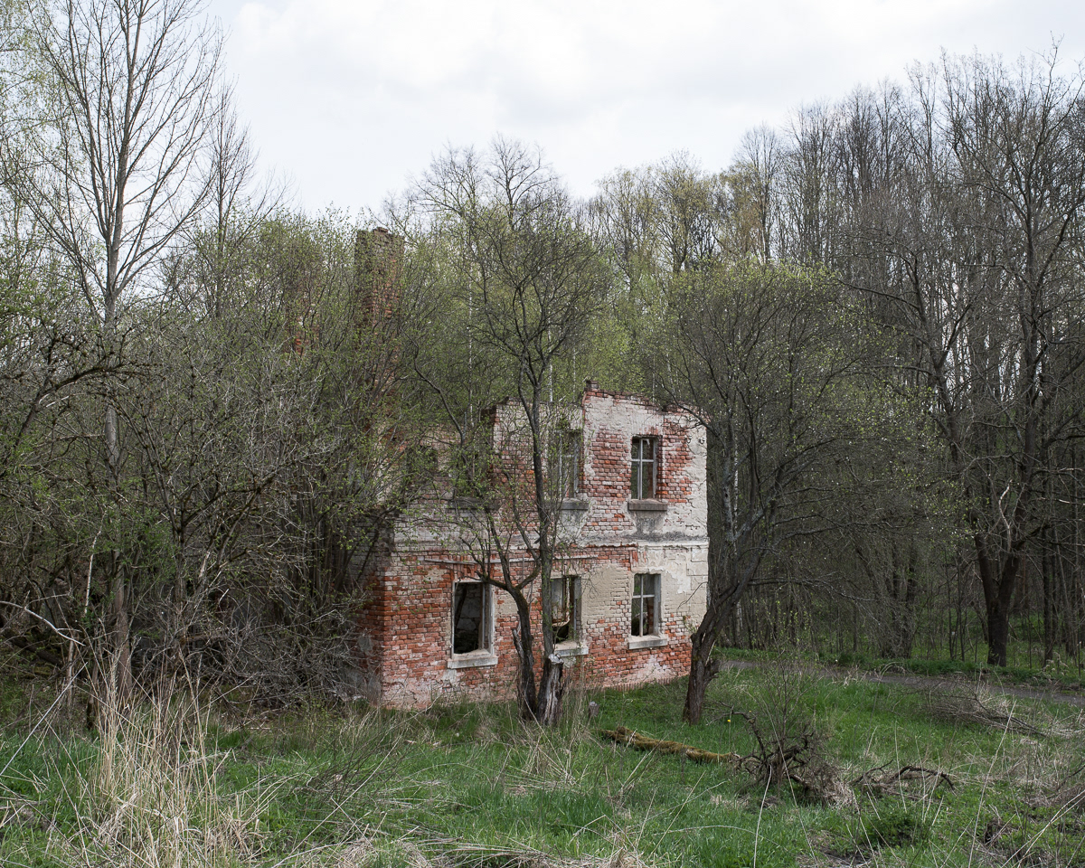
In 1998, Wigancice Żytawskie had a population of 348. Today, that number is 0.
The population of Opolno-Zdrój was 1194 in 2011. That number is around 921 today. Village populations tend to decrease as neighboring opencast mines expand.*
The population of Opolno-Zdrój was 1194 in 2011. That number is around 921 today. Village populations tend to decrease as neighboring opencast mines expand.*


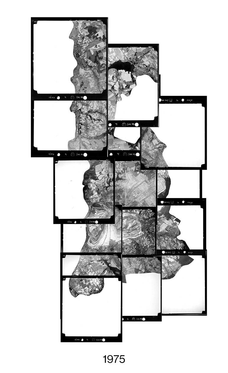
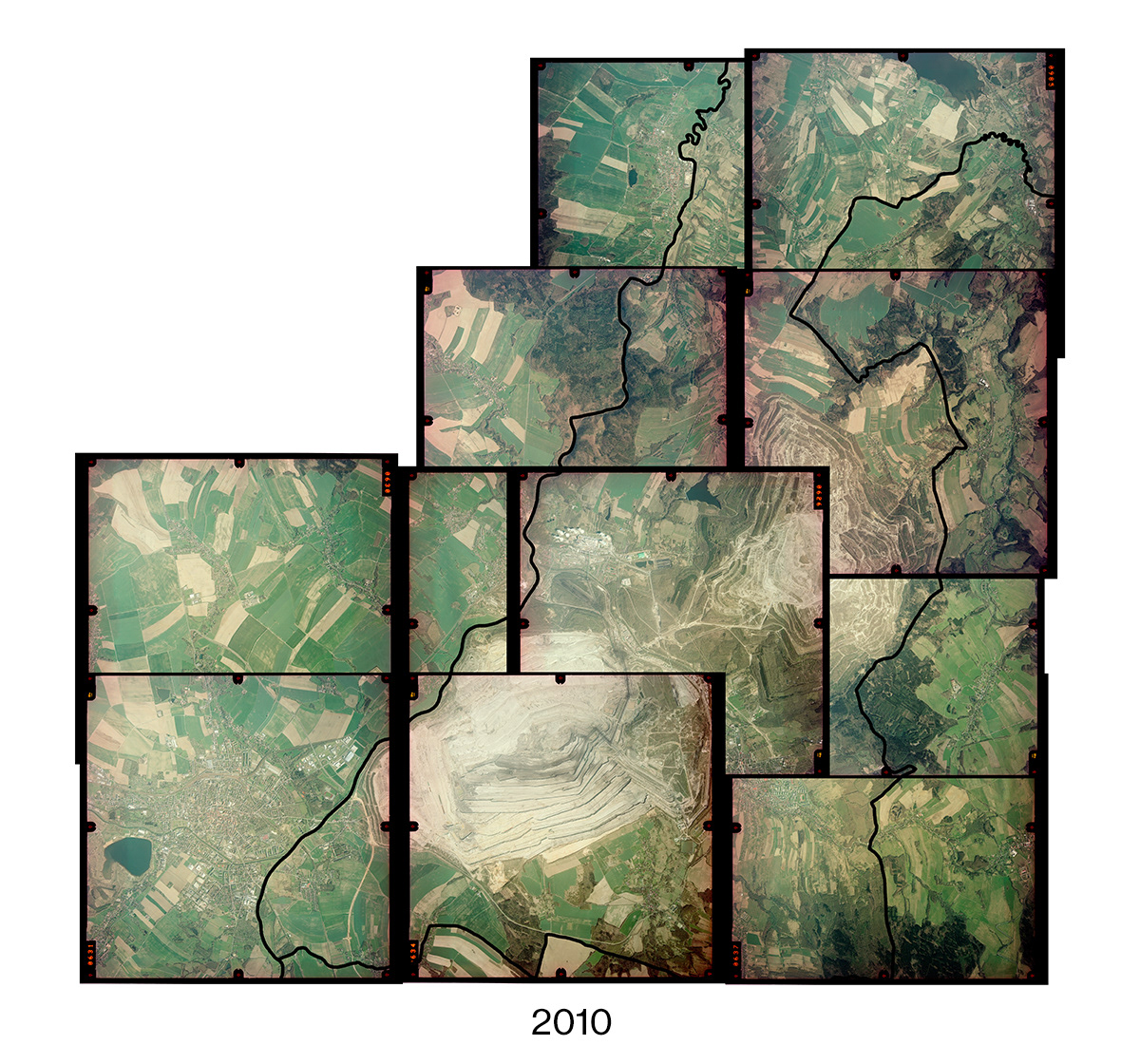
Nestled in a Polish valley between the borders of the Czech Republic and Germany is a hole in the earth, 300 meters deep. It currently covers 30 square kilometers, already brushing up against the Lusatian Neisse river to the west, and is steadily expanding towards the Czech foothills in the south. The giant hole is the work of Polish state-owned energy company PGE, and it is known as the Turów brown coal mine, (Kopalnia Węgla Brunatnego Turów).
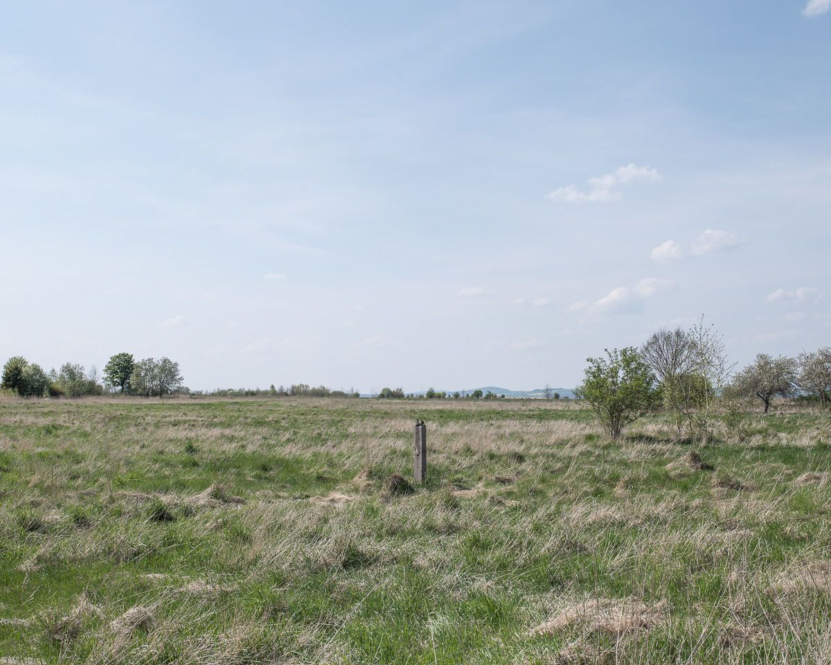
The Polish portion of the valley, colloquially called Worek Turoszowski, [the Turoszów Sack], is an awkward creation of post-WWII border adjustments and forced population resettlements. Before the war, it was a popular Sudeten German health resort, known for its serene landscape and local springs, whose waters were said to have healing properties. Land and water are still important topics in the region, although now in a much different context than in the past.
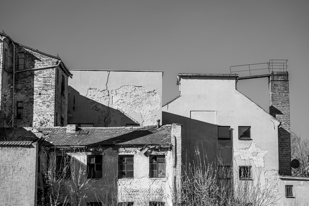
In order to dig for more coal, PGE needs to pump groundwater out of the mine. The drainage of water and further expansion of the mine cause complications across the whole region, as the source of the valley’s water is found in the Czech foothills. From there, the water flows into the part of the valley that lies on both Polish and German sides of the border. The water wells of the Czech villages Uhelná and Václavice are steadily drying out, whereas the German city of Zittau sits on earth that grows softer as the groundwater recedes, dangerously shifting the foundations below the city's buildings. Wigancice Żytawskie, the Polish half of a village that was once called Weigsdorf, as well as a significant portion of Opolno-Zdrój and other former German villages now part of Poland, have once again seen a population displacement. This time, however, to make room for the expanding mine.
What will happen if we continue to allow an unsustainable system of “limitless” economic growth to operate as it has, at the expense of nature and society? Perhaps the neighbors of Turów have a valuable insight, not only into their own potential future, but the future that may await us all.
This project was completed by Roman Koziel under the mentorship of Michał Łuczak as part of the 2021/2022 Sputnik Photos Mentoring Program.
* Sources:
Česká Geologická Služba: "Často kladené dotazy na změny hladin podzemní vody v okolí dolu Turów Odpovědi České geologické služby k 10.3.2023"
European Commission: ”Drinking water in the EU: better quality and access”
Dr.habil. Ralf E. Krupp: ”Gutachten zu den grenzüberschreitenden Auswirkungen einer Fortführung des Abbaus der Braunkohlelagerstätte Turów (Polen) auf die Gewässer in Deutschland”
https://www.polskawliczbach.pl/wies_Wigancice_Zytawskie
https://www.polskawliczbach.pl/wies_Opolno_Zdroj
http://stat.gov.pl/download/gfx/portalinformacyjny/pl/defaultaktualnosci/5670/21/1/1/1_miejscowosci_ludnosc_nsp2011.xlsx